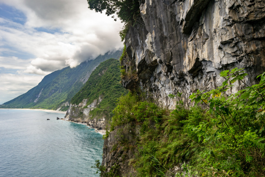
In May 2018 I seized an opportunity to ride the beautiful and dangerous Suhua Highway (蘇花公路) from Hualien City to Su’ao in Yilan. I had previously taken this same route on bicycle back in 2013—a harrowing trip I’ll never forget—so I was eager to drive a scooter and experience it at a different pace. I also visited a number of historic sites along the way, including several former Shinto shrines, as part of an ongoing project documenting various elements of the Japanese colonial legacy in Taiwan. Much of the highway itself also owes something to Japanese engineering, having opened to vehicular traffic in 1931, but it has been continuously repaired and expanded since then.
These travelogues are tales of movement and change. Don't expect standard travel blog content in this section; I almost never include directions or addresses. I tend to write more obliquely, while also digging deeper into local history and culture, chasing tangents and falling down rabbits holes. I am also fairly loose with my definition of "travel", for life itself is a journey, and a travelogue is simply a record of experiences now shared.
Nantou Road Trip 2015: Puli to Sun Moon Lake
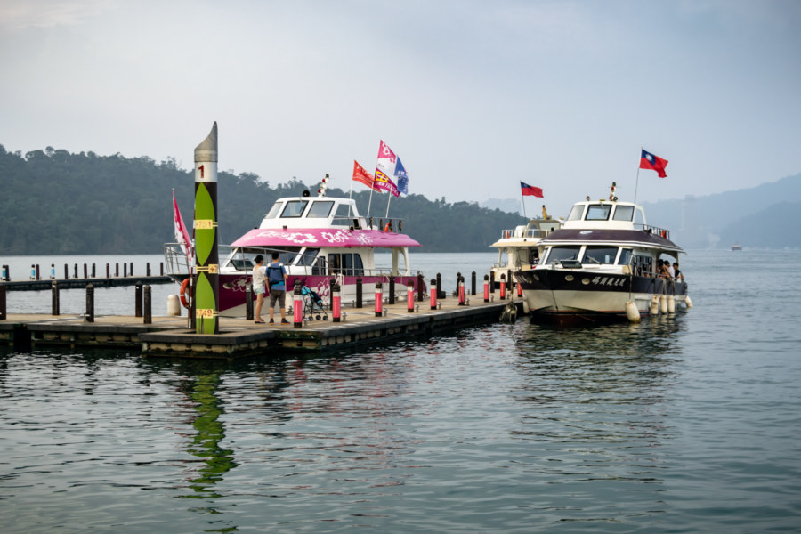
This post gathers photos taken on two scooter rides from Puli to the shores of Sun Moon Lake 日月潭 in Yuchi, part of a multi-day road trip undertaken in late 2015. I didn’t have a chance to explore as deeply as I would have liked, nor did I really know what was so special about this part of the country while I was there, so this post will be somewhat less extensive than most others in this series. I hope to someday return to the Sun Moon Lake area and gather material to make a fully informed post about this fascinating part of Taiwan.
Taiwan Summer Road Trip 2017: Taichung to Nantou
In the summer of 2017 I embarked upon a series of road trips around central and southern Taiwan. I began in Taichung and ended up riding as far south as Kaohsiung over the course of several months. It was not one continuous journey; I would head south, ride for several days, stash the scooter at a train station, and return to my residence in Taipei before doing it all over again. There wasn’t a lot of planning involved, nor were these trips entirely random. Usually I had some idea of what to see and where to go, but there were also many serendipitous discoveries along the way. Ultimately I gathered material for more than 50 posts, many of which have already been published. This introductory post gathers an assortment of photos from the first segment of the trip from Taichung to Nantou, with particular emphasis on the districts of Taiping, Puli, and Shuili.
Postcards From Cholon
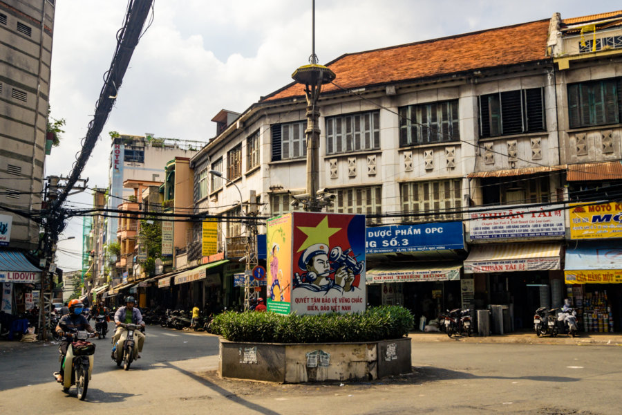
Cholon is a historic Chinatown west of old Saigon in Ho Chi Minh City, Vietnam. I visited the area on three occasions in 2017, intent on wandering around and capturing some pictures from the streets. Previously I published an extensive report on the Chinese temples of Cholon, including some detail about the history and demographics of the area, so I won’t repeat myself in this post. Instead, I’ll let the photos do the talking this time around…
The Chinese Temples and Guildhalls of Cholon
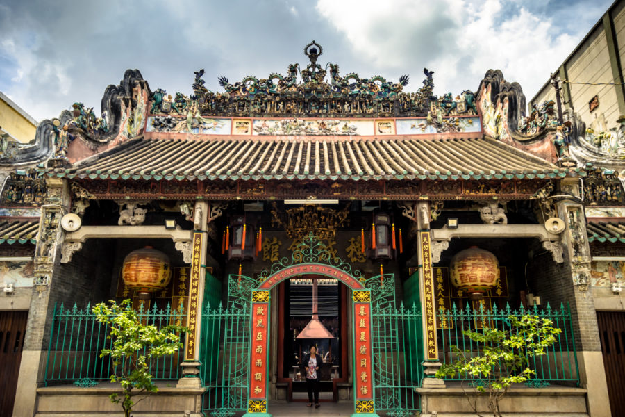
On several recent trips to Ho Chi Minh City I spent some time wandering around Cholon, a vast and historic Chinatown located about five kilometers west of the downtown core of colonial Saigon. Originally settled in the late 17th century by ethnic Chinese settlers, the Hoa People 華人, it was known by its Cantonese name, Tai-Ngon 堤岸 (literally “Embankment”, but it is also roughly homophonous with “Saigon”). Later the Vietnamese dubbed it Cholon (“Big Market”) after the forerunner of the modern-day Binh Tay Market. The Hoa people were once the majority in Cholon but many fled persecution in the aftermath of Fall/Liberation of Saigon in 1975, and again during the Sino-Vietnamese War. Nowadays the Hoa people only account for approximately 5% of the population of Ho Chi Minh City (less than half the proportion of ethnic Chinese living in Toronto, my hometown) but their imprint on the streets of Cholon is readily apparent, particularly in the form of the many distinctive temples and guildhalls of the district.
Nantou Road Trip 2015: Puli
Puli was my home base for several days of road tripping and adventure around Nantou in October 2015. Recently I decided to publish my findings and impressions from this trip despite not knowing much about what I was seeing at that time. Most of the other posts in this series document trips from one place to another but in this post I’m focusing on some of what I found within city limits, starting with some history to put everything in context.
Nantou Road Trip 2015: Ren’ai
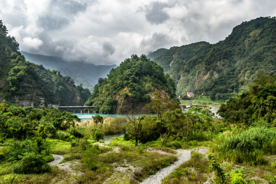
My second day on the road in Nantou County in October 2015 was completely unplanned. I left Puli and headed deeper into the mountains simply to see what was there, not having done any advance research. From a glance at the map I had a rough idea where I’d be going—deeper into traditional Taiwanese Indigenous lands to the east of Puli Basin (埔里盆地). Ultimately I ended up visiting several settlements and two reservoirs in a few hours of riding around what is now known as the township of Ren’ai.
Nantou Road Trip 2015: Taichung to Puli
In October 2015 I set out from Taichung to attend a music festival in Nantou, the landlocked county in the mountainous interior of Taiwan. Since I don’t often have an opportunity to ride a scooter I allocated some extra time for onward exploration and ended up visiting many interesting and wonderful places, many of them quite obscure. What follows is the first part of a mostly visual record of this road trip around the geographic center of Taiwan…
Postcards From Ershui 二水明信片
Ershui is a rural township located in the southeastern corner of Changhua, bordering Yunlin and Nantou. Ershui Station 二水車站, constructed in 1935, is the primary point of transfer between the Main Line 縱貫線 of the Taiwan Railway Administration (TRA) and the Jiji Line 集集線, a tourist railway leading into the interior. Ershui, which literally means “two water”, is named after the Bābǎo Canal 八堡圳, an extensive system of artificial waterways still responsible for irrigating much of the Changhua Plain 彰化平原 three centuries after it was devised. During the Japanese colonial era this small town prospered as a center of woodworking while farmers in the countryside cultivated bananas, grapes, guava, and tobacco, among other crops. Nowadays it is mainly known as a sleepy stopover on the way to parts beyond—but a closer look will reveal several points of interest for anyone curious about Taiwanese history, architecture, and vintage style.
Postcards From Xiluo 西螺明信片
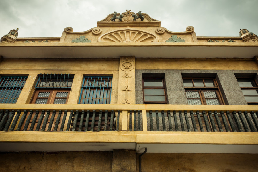
Xiluo is a small historic town on the south bank of the Zhuóshuǐ River 濁水溪 in Yunlin. It emerged as an important center of trade in central Taiwan during the Qing dynasty era and continued to prosper into the early 20th century under Japanese colonial rule. Disaster struck in 1935 when the devastating Hsinchu-Taichung Earthquake ripped through north-central Taiwan, reducing much of Xiluo to rubble. Colonial authorities and the local gentry worked together to rebuild, taking the opportunity to completely remodel the main commercial thoroughfares with an intriguing blend of influences from Baroque Revival, Art Deco, and Modernist architecture. A short stroll down Yánpíng Old Street 延平老街 reveals that many of these unique shophouses and commercial buildings remain standing today.
