Last summer I embarked upon a weeklong bicycle tour in the deep south of Taiwan. I began in Tainan, cycled through Kaohsiung to Pingtung City, spent a day hanging out, and then continued on to Fangliao, where the coastal plain narrows to a thin wedge between the mountains and the sea. There is only one road leading south from here—which meant I covered a lot of ground I had already seen while riding all around Taiwan in 2013. I didn’t mind repeating that beautiful stretch of coastline and, actually, I was looking forward to checking out some places I had breezed by on that first big tour, particularly in Fangshan and Hengchun.
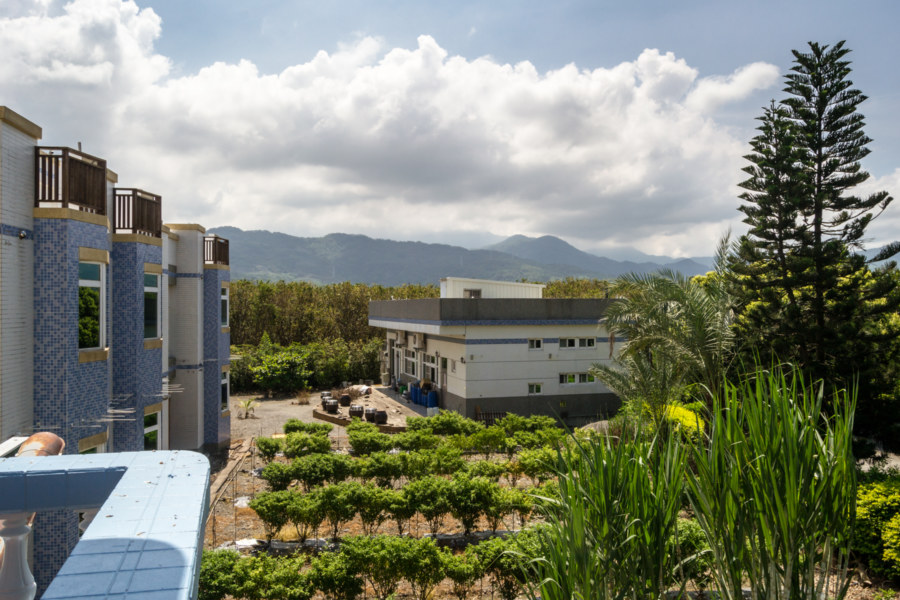
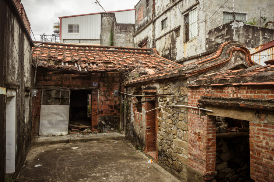
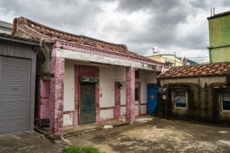
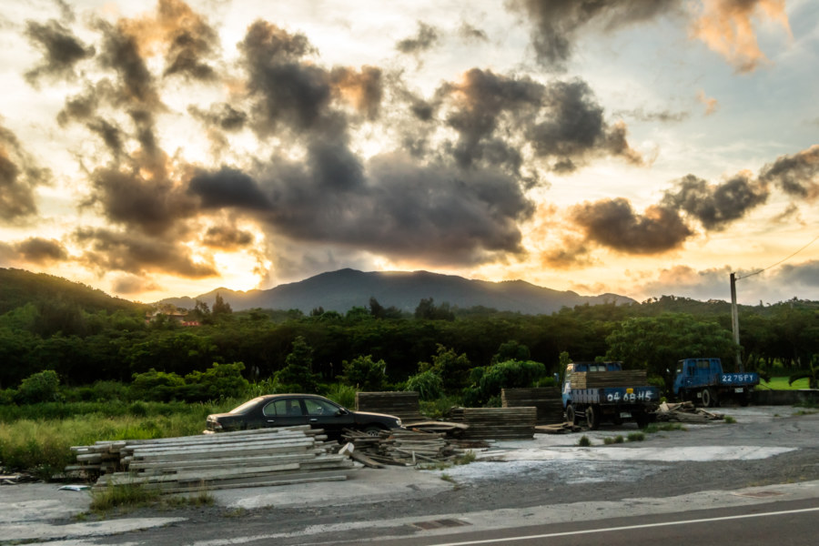
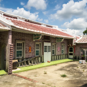
The day began in a nondescript motel on Provincial Highway 1. It was nothing special but the view from my balcony was rather nice, as you can see (above). After packing up I doubled back on the highway and turned down the main road leading toward town in search of a hearty breakfast to fuel my engines—and was almost immediately arrested by the sight of an impressive ruin I hadn’t noticed the night before. Urban exploration before breakfast? Sure, why not!
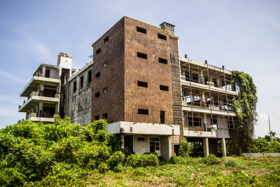
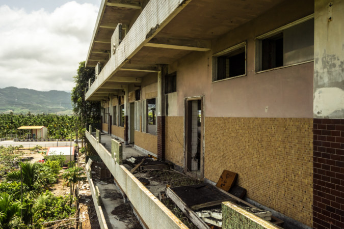
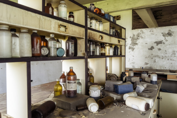
Not long after entering the building I realized it must have once been a factory of some kind, possibly chemical or pharmaceutical. Most interesting was the remains of a laboratory on one of the upper floors. I wasn’t able to puzzle out what it was at the time, but eventually identified it as the Peiyuan Industrial Aquaculture Factory.
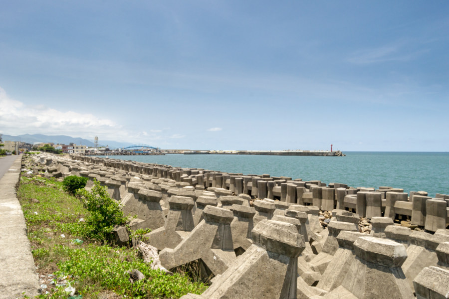
Following my unexpected detour through the decaying ruins of industry I continued into town, stopping only to snap a quick photograph of the concrete coastline at the north end of the main stretch. The objects in view are known as tetrapods and they act as breakwaters to prevent coastal erosion. Years ago it was reported that more than half of the Taiwanese coast is covered with these unsightly things—so you’ll be seeing more of them in pictures to come, particularly when I make it to Taitung.
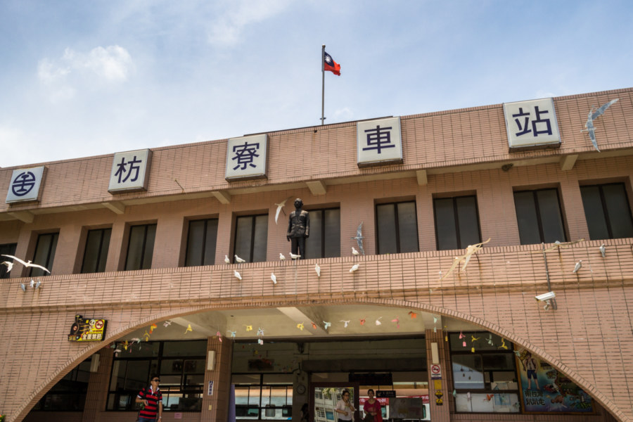
After a quick breakfast I went for a spin around Fangliao to see what I might find in this sleepy coastal town. I began with Fangliao Station (枋寮火車站), the first stop on the South-Link Line (南迴線), which connects southwestern Taiwan with the east coast by rail. Most railway lines in Taiwan were in service back in the Japanese colonial era but this line was only completed in 1991! Next to the station is an area known as Fangliao Railway Artist Village (枋寮鐵道藝術村) or Fangliao F3 Cultural District (枋寮F3藝文特區), probably the biggest attraction in the area, though I didn’t notice much activity in the area when I meandered through shortly after noon.
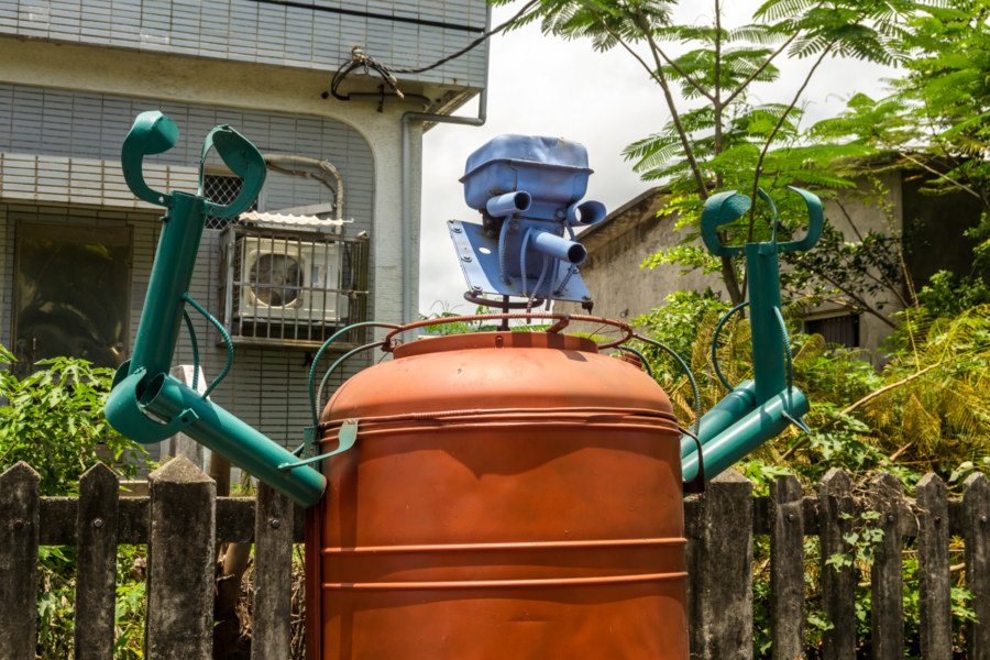
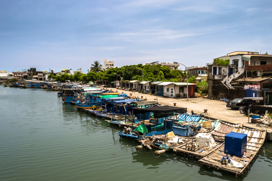
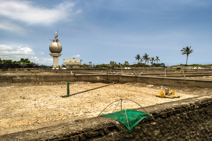
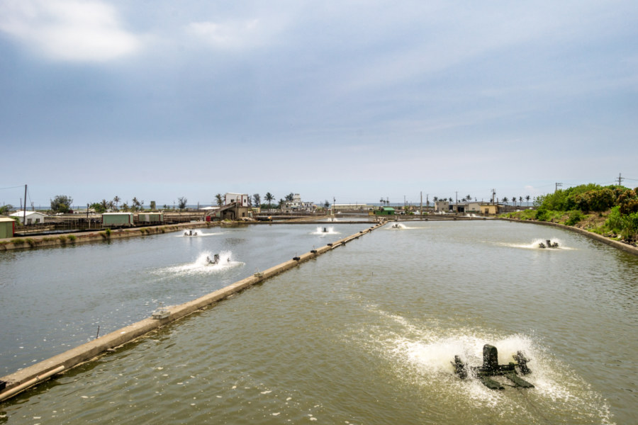
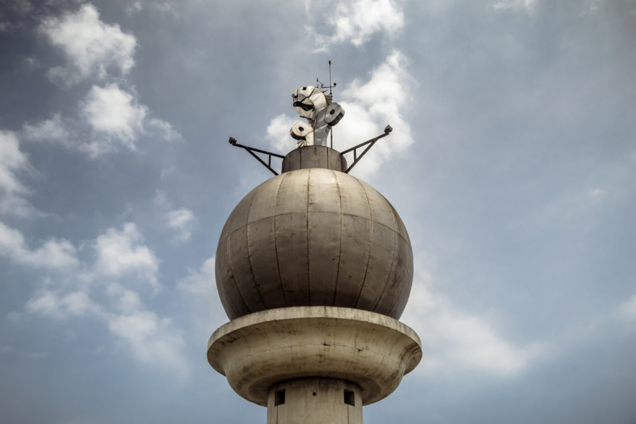
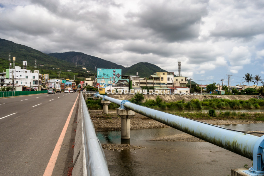
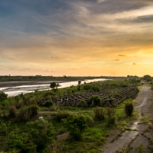
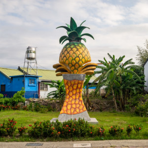
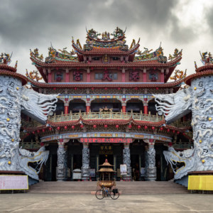
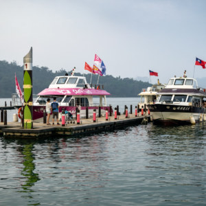
Heading south out of Fangliao proper I soon passed through Běishìliáo Aquaculture Production Area (北勢寮養殖漁業生產區), a cluster of fish ponds and the site of the curious monument at the top of this post. I haven’t done a lot of research into the aquaculture industry in Taiwan but it is certainly among the largest in the world and, consequently, one of the most impactful. Nearly the entire western coast of Taiwan is one vast manmade landscape—and that’s only what you see at the surface. Excessive groundwater pumping to fill freshwater aquaculture ponds has also led to record-setting levels of land subsidence, particularly along the stretch of coastline just north of Fangliao, where entire villages have sunk below sea level in Linbian and Jiadong. (I was not aware of this last year otherwise I would have gone out of my way to take a closer look!)
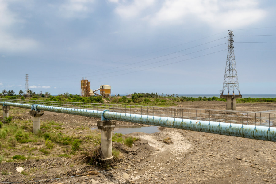
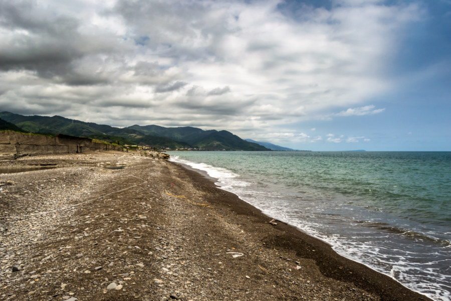
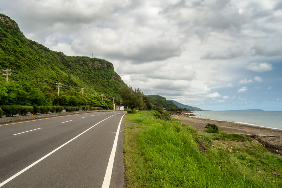
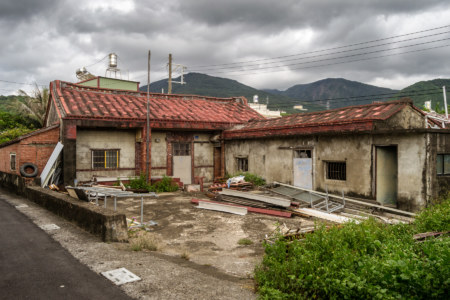
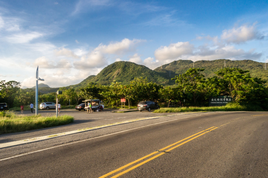
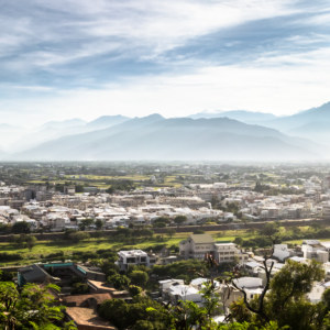
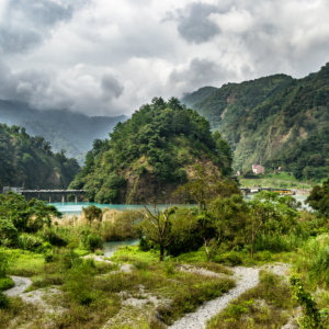
Now for a little about local geography! Most of my day was spent riding down the west side of the Hengchun Peninsula (恆春半島), the southernmost extension of the Central Mountain Range, which runs the entire length of the island. Fangshan, the district immediately to the south of Fangliao, marks the southern terminus of the Pingtung Plain (屏東平原). The coastline closely follows the foothills for the next 25 kilometers, deviating only where sediment deposition from mountain streams has been sufficient to form small alluvial plains where almost all settlement is concentrated. The landscape opens up again at the mouth of the Hengchun Longitudinal Valley (恆春縱谷) in Checheng. This valley is bound to the east by the Hengchun Fault (恆春斷層) and to the west by an uplifted coral plateau generally known as Guānshān 關山, faintly visible in the picture above (just look for the thin blue wedge on the horizon; everything to the left of that is the valley).
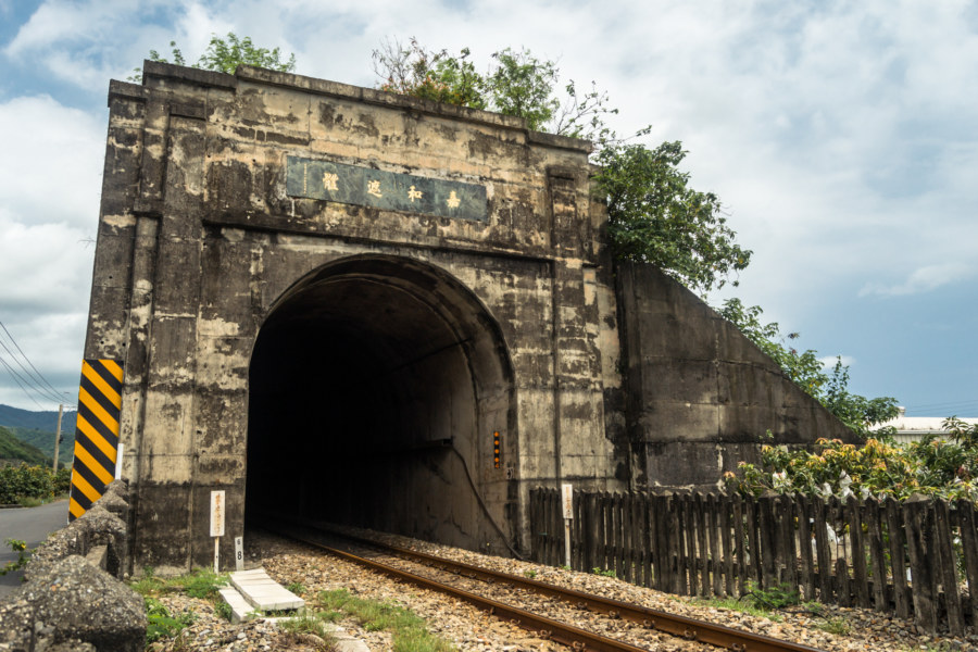
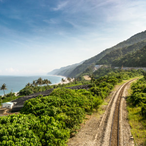
Before reaching the end of the plains I cycled by an intriguing anomaly that I had previously noted on my first tour around Taiwan: a kilometer-long railway tunnel looking very much like a fortified bunker from some forgotten war. This is Jiāhé Zhētǐ (嘉和遮體), a “naked” (since it doesn’t go through anything but open air) tunnel built in 1991 to protect trains from naval bombardment. Prior to the completion of the South-Link Line this part of the Taiwanese coast was used as a shooting range so this structure was built to protect passing trains from stray ordinance. The shooting range was eventually moved when some bigwig realized that lobbing live munitions in the direction of passenger trains was not the brightest idea in the universe—but the tunnel remains, a curious monument to a convoluted bureaucratic decision-making process.
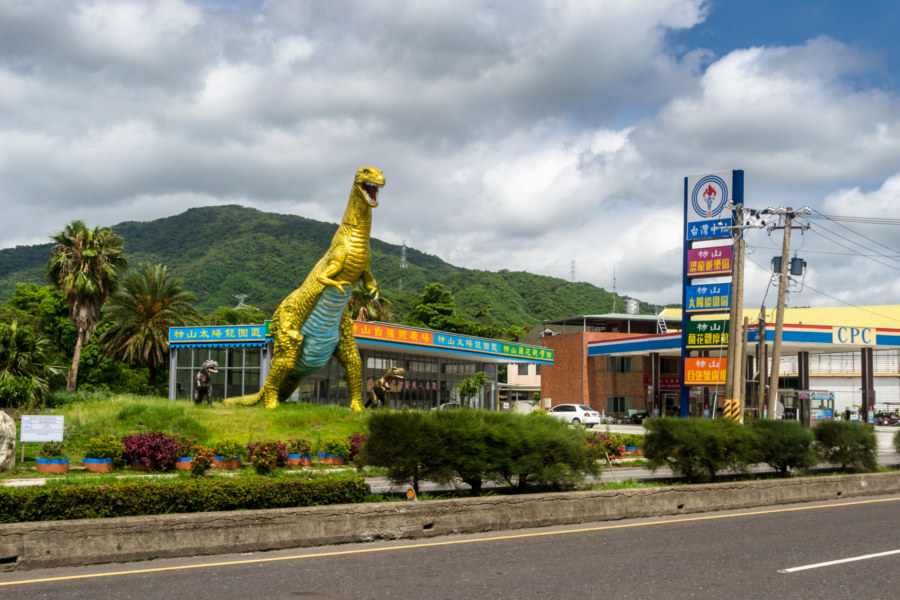
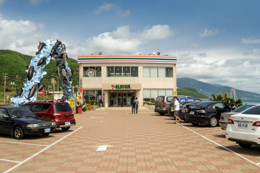
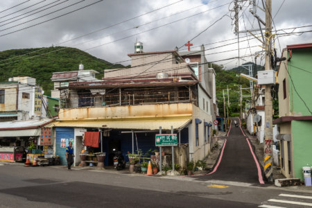
The coastal highway is the main route south to Kenting (墾丁), a popular resort town at the southern tip of the island previously discussed in this post. Along the way there are many roadside attractions, from the transient fruit vendors and pop-up cafes to more permanent businesses like restaurants, gas stations, and convenience stores, all vying for the attention of passing motorists and tour buses with quirky displays and signboards. The golden dinosaur is a nice touch—and the 7-Eleven convenience store a little further on is probably one of the nicest in the country. I stopped there for a remarkably refreshing snack: soft-serve ice cream.
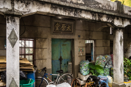
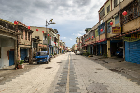
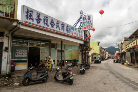
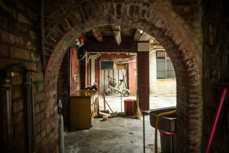
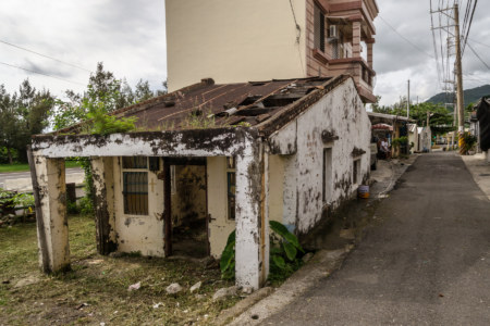
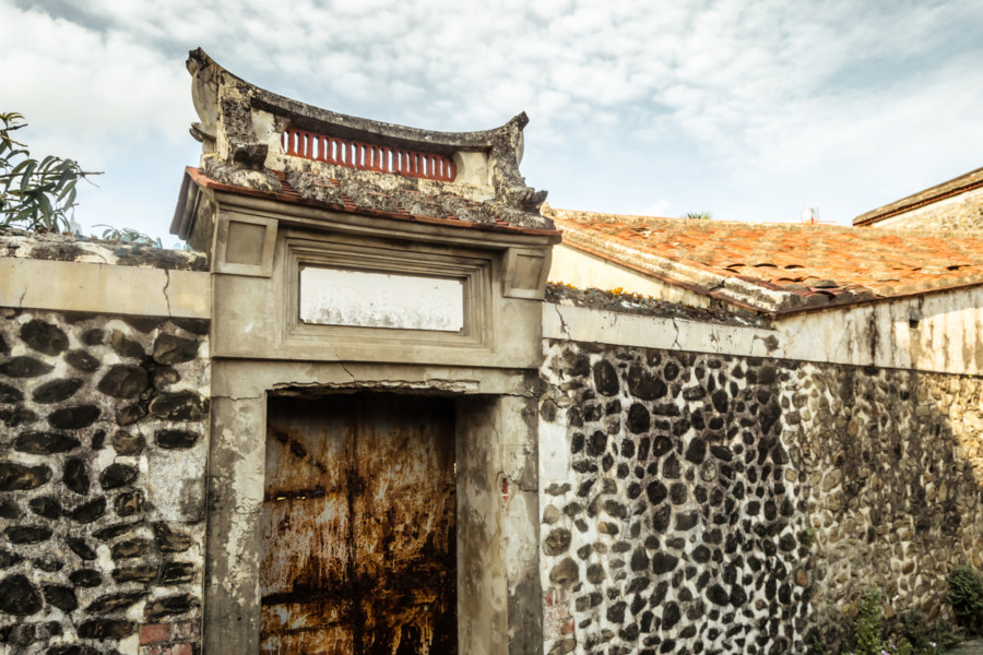
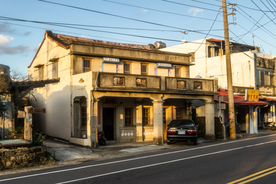
In the southern third of Fangshan I left the main highway to explore the small fishing town of Fēnggǎng Village (楓港村). From a cursory reading of the available literature it sounds like this village was founded in 1765 by Chinese settlers looking to avoid conflict with Indigenous people further north in Fangliao. The village certainly seemed old from what I could tell while riding around aimlessly. There were many archaic houses scattered around town, plenty of them abandoned or in an advanced state of decay—including one that has recently become quite famous!
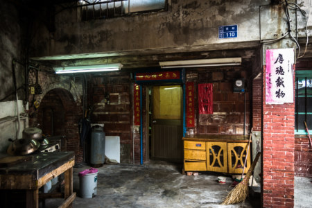
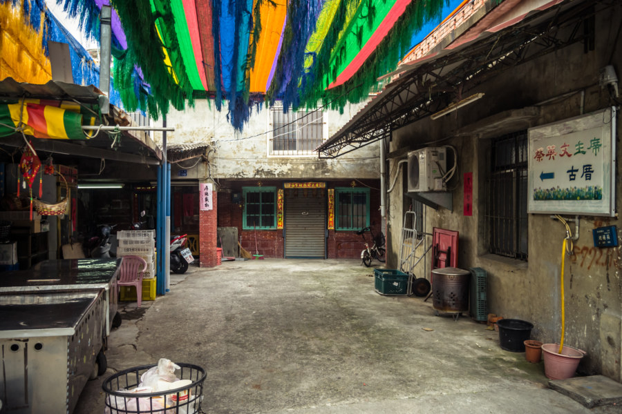
While riding around Fenggang I noticed a funky signpost pointing to the Tsai Ing-wen Historic Home (蔡英文古厝). I recognized the characters for Tsai Ing-wen (蔡英文), then the chairperson of the DPP and likely presidential contender. I went over to investigate and found the humble home where she spent her formative years. Nobody lives there any more but it is now gaining popularity as a museum of sorts, particularly since she was elected the first female president of the country almost a year after I visited!
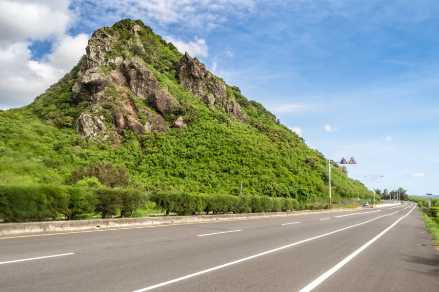
Highway 1 ends in Fenggang where it meets Highway 9, which crosses the mountains before shimmying up the east coast of the island, and Highway 26, which continues south around the coast to some very interesting places I’d be visiting the following day. After leaving Fenggang behind I passed through a small Indigenous community, Zhúkēng Village (竹坑村), before reaching the rocky outcrop of Xiǎojiānshān (小尖山), a major landmark on the way to Kenting. This modest mountain is the counterpart to the more famous Dàjiānshíshān (大尖石山). If you’re curious, check out this drone footage of the mountain and surrounding landscape.
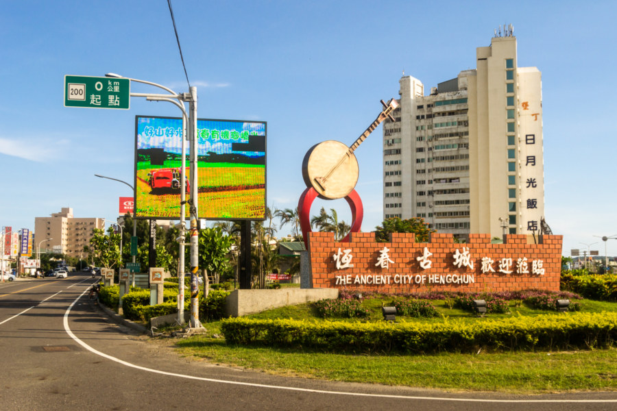
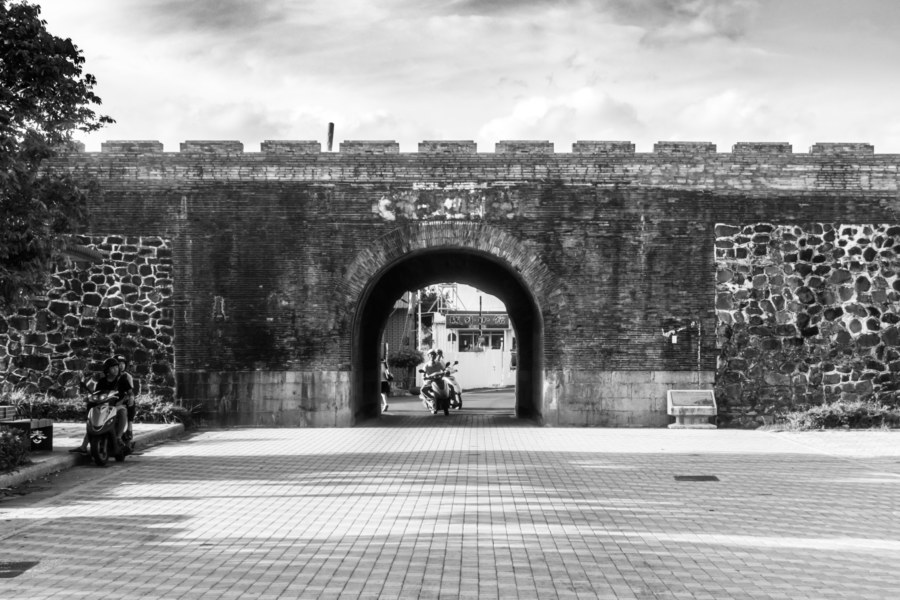
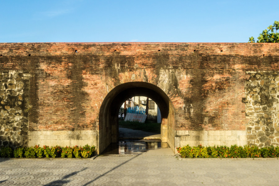
A short spin around the village of Checheng at the northern entrance to Hengchun Valley revealed little of interest, though I didn’t stay long as daylight was beginning to fade. Forging on, I passed by the disused Hengchun Airport (恆春機場) and soon arrived at the entrance to the “ancient town” of Hengchun (or, to be less grandiose about it, Hengchun Old Town) (恆春古城), one of my favourite places in southern Taiwan. Here you will find the most extensive remaining city walls in all of Taiwan—as well as the complete set of four original gates. There were once more than a dozen walled cities in Taiwan but the Japanese destroyed almost all of them as part of a nationwide program of urban renewal and modernization in the first decades of the 20th century.
Despite its diminutive size and remote location the Hengchun Peninsula has played a pivotal role in Taiwanese history. Traditionally known as Longkiau (a romanization of a Taiwanese Hokkien transliteration of the Indigenous place name rendered in a variety of other ways e.g. Liangkiau), it was beyond the imperial frontier of Qing dynasty era Taiwan until two high-profile shipwrecks brought foreign forces into conflict with local Indigenous people. These episodes—the Rover Incident (中文) of 1867, the Mudan Incident (八瑤灣事件) of 1871, and the Japanese invasion of Taiwan in 1874—prompted the Qing, who had previously governed Taiwan west of the boundary line with a mixture of disinterest and incompetence, to begin asserting control over more of the island. Thus Longkiau was brought under Qing control, renamed Hengchun, Chinese for “eternal spring”, and city walls were completed in 1879.
Qing dominion over Hengchun was far from eternal. The Japanese treated the aforementioned Bayaowan Incident as justification for formally annexing the Ryūkyū Kingdom (now Okinawa) in 1879. This, in turn, paved the way for the Japanese invasion of Taiwan in 1895, a consequence of the Treaty of Shimonoseki signed at the conclusion of the First Sino-Japanese War. Imperial Japan took a much greater interest in Taiwan than the Qing had, embarking upon a campaign to fully integrate the island into a single polity for the first time in human history. There wasn’t much use for city walls in a united Taiwan so the colonial authorities eventually destroyed almost all of them—but they also don’t seem to have had much use for the former frontier outpost of Hengchun, which they mostly left alone.
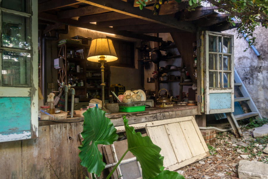
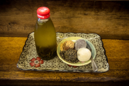
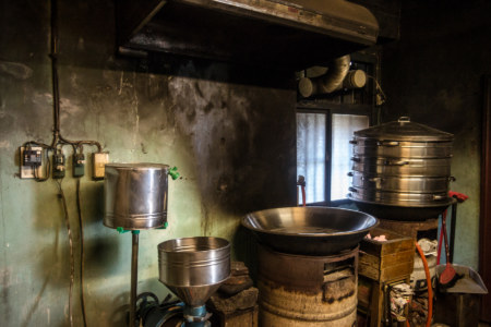
Not far from Xīmén (西門), the western gate, I stopped for a snack at a famous shop inside a hundred-year old house. Báiyángdào Cháishāo Máshu (白羊道柴燒麻糬) is famous for handmade mochi, a traditional dessert made out of glutinous rice and several different kinds of fillings—peanut, black sesame, red bean, and so on. I tried a combo plate served with a bottle of refreshingly cold tea and really enjoyed it. The boss spoke a little English and encouraged me to explore the rest of the house, which even has a small backyard patio. The furnishings are almost entirely antique: spare wooden furniture, old lamps, and the like. Naturally such a photogenic shop has become something of a hit with Taiwanese bloggers, for instance here, here, and here, and I absolutely recommend checking it out if you’re in town.
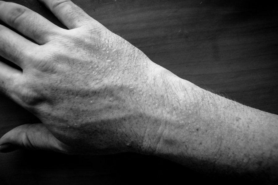
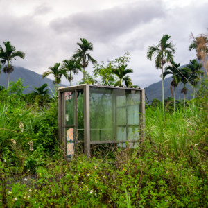
Now filled with delicious blobs I hit the road again, and almost immediately discovered I had my first flat of the trip. I wonder what had caused it? Whatever the case, after a delay of about fifteen minutes (including time to find a convenience store washroom to clean the black gunk off my hands) I exited the old city by way of Dōngmén (東門), the eastern gate, and set out along Highway 200, alert for whatever interesting stuff I might find by the roadside as I made my way into the foothills of Manzhou at dusk. Even so, I somehow managed to completely miss Chūhuǒ Special Scenic Area (出火特别景觀區), home to one of Taiwan’s several natural gas seeps that are continually ablaze, despite having photographed the entrance (below). “Next time” invariably becomes my mantra on these trips!
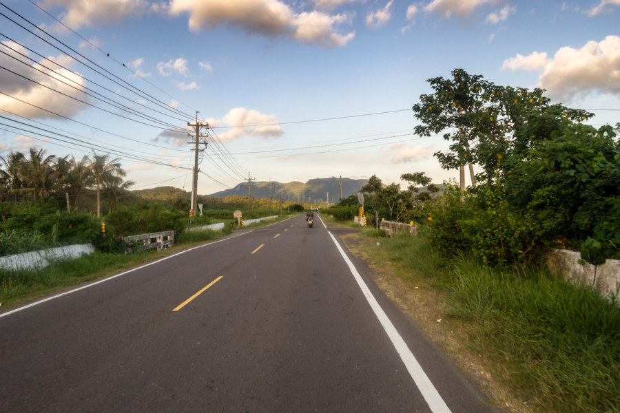
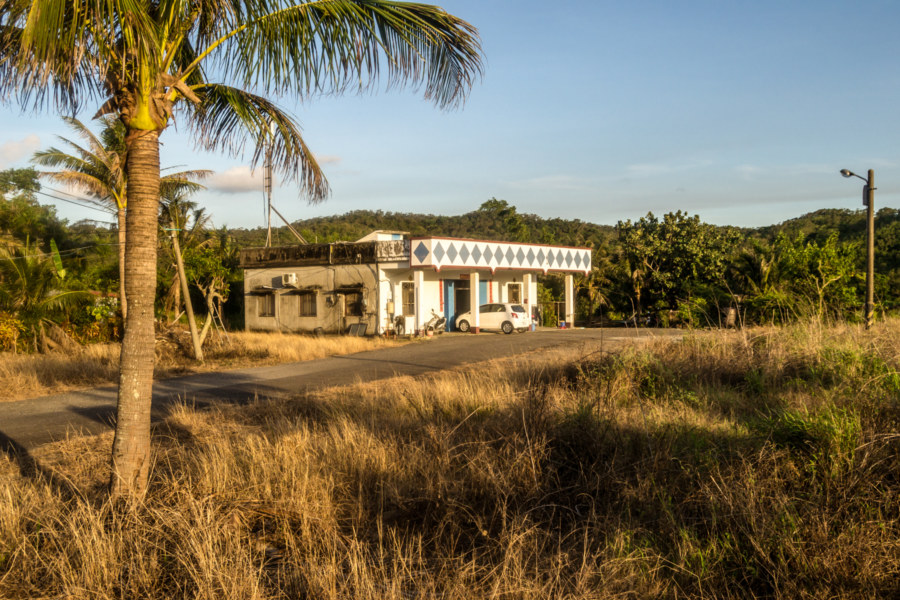
Last time I swept through this part of Taiwan on a bicycle I headed south from Hengchun before looping around the very southernmost tip of the island and entering Manzhou from the south by way of Provincial Highway 26, which eventually meets the 200. As such, I was riding through unfamiliar territory, but didn’t really have the time to stop and appreciate it all that much. The sun was hanging low on the horizon and light was fading fast—and I had an actual destination for a change, so all I captured from this section were a handful of photographs from the road.
Earlier in the day I broke from convention and actually booked a place in advance. I was coming up to a part of Taiwan that has haunted my dreams since I was last there, when I was riding through the outer bands of an extraordinarily powerful typhoon, and I was intent on maximizing the amount of time I’d have to explore the following day. The small town of Manzhou is the last place to find lodging before the most remote stretch of coastal highway anywhere on the island of Taiwan so I had taken a room in a cyclist-friendly hostel there and was doing my best to check in not long after nightfall.
I arrived in Manzhou just after dark and found my hostel. It was a simple place, possibly a quasi-legal addition to an existing building, as it was bolted onto the top of the owner’s home. After a quick shower I went out for dinner around 8pm and took a short spin around town before calling it a night. There wasn’t really anything to see or do anyway; rural villages like this one tend to follow an agrarian rhythm, early to bed and early to rise, which was precisely my goal for the night. It had been a long day of riding under the relentless tropical sun and I was in dire need of rest for the big ride coming up the next day.
Thus concludes my fourth day on the road in the deep south of Taiwan in early summer 2015. Be sure to read the previous entry and follow up with the next chapter, in which I end up exploring the most remote parts of coastal Taiwan!

Great post! I’ve passed by some of these places by car when going south, but couldn’t have a look as close as you did riding you bike :)